Mountain Passes in Uttarakhand: From Ancient Trade Routes to High-Altitude Himalayan Expeditions
The High Roads of the Himalayas Where History, Adventure, and Strategy Meet
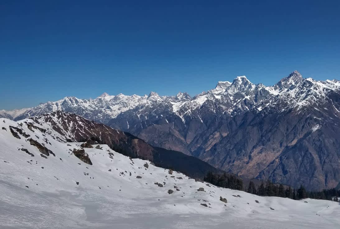
Mountain Passes in Uttarakhand
Uttarakhand does not just offer scenic hill stations and temple towns. It also hides some of the most dramatic high-altitude corridors in the Indian Himalayas. These routes, known as mountain passes, connect valleys, glaciers, pilgrimage sites, and even international borders.
Mountain passes in Uttarakhand have shaped trade, migration, warfare, and modern trekking culture. Some served as ancient trade routes between India and Tibet. Others now attract trekkers who chase snow views, alpine meadows, and summit sunsets.
In this guide, we will explore the most important passes in Uttarakhand using verified geographical and historical references. No exaggerated heights. No fictional legends. Only real facts, clear explanations, and practical insights.
What Is a Mountain Pass?
A mountain pass is a navigable route through a mountain range or over a ridge. It usually forms at a saddle point between peaks.
In the Himalayas, passes play a critical role. They connect remote valleys, enable pilgrimage routes, and support border infrastructure. According to surveys by the Geological Survey of India and topographical mapping by the Survey of India, many Himalayan passes sit above 3,000 meters, which makes them physically demanding and climatically sensitive.
Now let us explore the most notable ones.
1. Mana Pass
Mana Pass stands at an elevation of around 5,610 meters above sea level. It lies near the village of Mana in Chamoli district, close to the India–China border.
Historically, traders used this pass for commerce between India and Tibet. Today, the Indian Army maintains strategic access due to its border location. Civilians need special permits to visit the area.
The terrain remains rugged and largely snowbound for much of the year. Because of extreme altitude, oxygen levels drop significantly. This pass is not a trekking destination for casual hikers. It demands acclimatization and official clearance.
 Mana Pass
2. Niti Pass
Niti Pass connects the Niti Valley of Uttarakhand with Tibet. It sits at an elevation of approximately 5,070 meters.
Like Mana Pass, it once supported Indo-Tibetan trade. Historical records from British-era surveys mention caravans crossing this route with wool, salt, and grains. After the 1962 Indo-China conflict, authorities restricted access.
Today, the region falls under controlled border administration. Trekkers can explore nearby villages like Niti and Gamshali with permits, but the pass itself remains sensitive.
 Niti Pass
3. Lipu Lekh Pass
Lipu Lekh Pass sits at about 5,200 meters and holds immense strategic and religious significance. It lies near the tri-junction of India, Nepal, and China.
Pilgrims traveling to Mount Kailash and Lake Mansarovar in Tibet often use this route. The Government of India organizes the Kailash Mansarovar Yatra through this pass under strict regulation.
Geographically, it connects the Kumaon region of Uttarakhand to Tibet. Due to its political sensitivity, authorities regulate all travel through this corridor.
 Lipu Lekh Pass
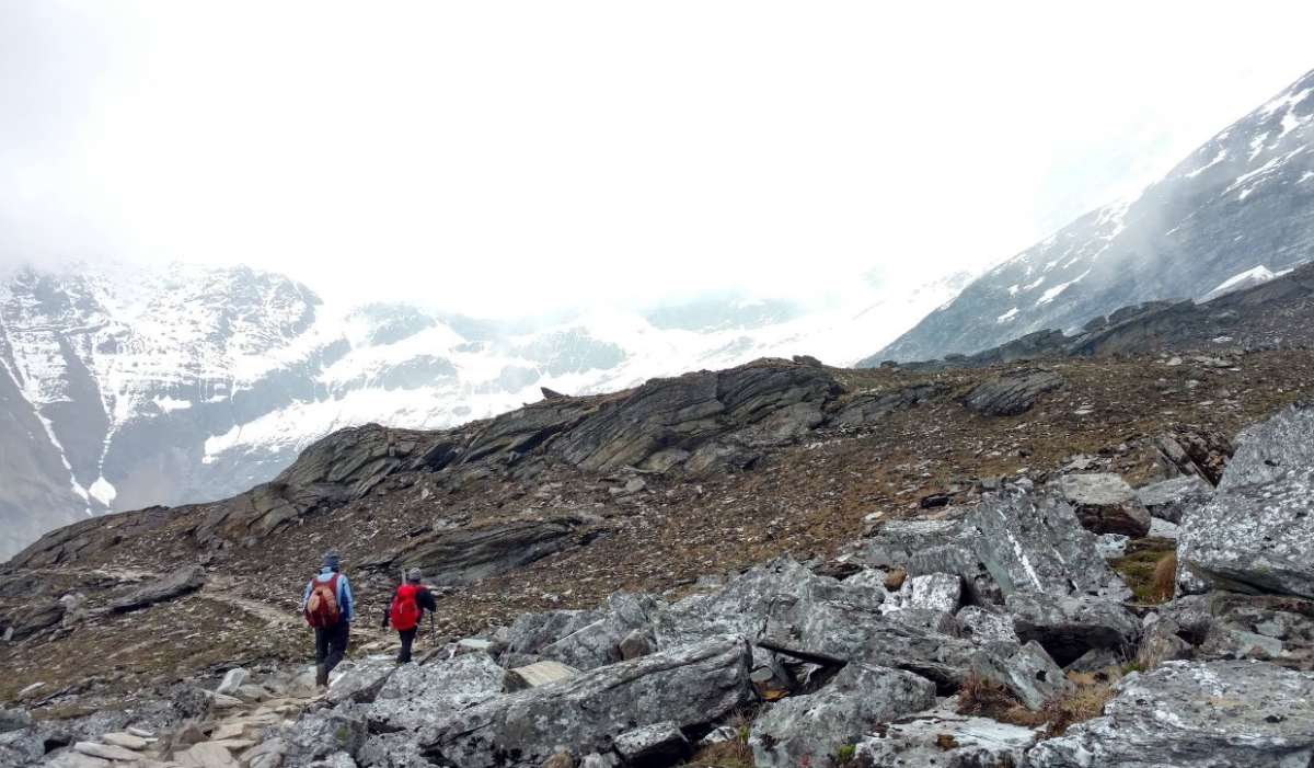
4. Kuari Pass
Kuari Pass stands at approximately 3,650 meters. Unlike border passes, this one welcomes trekkers.
Lord Curzon, the former Viceroy of India, popularized this route in the early 1900s. Because of that association, many call it the “Curzon Trail.”
Trekkers enjoy wide Himalayan views from this pass. On clear days, peaks like Nanda Devi and Dronagiri dominate the skyline. The trail passes through oak forests, alpine meadows, and remote villages. It remains one of the most accessible high-altitude trekking passes in Uttarakhand.
 Kuari Pass
5. Roopkund Pass
Roopkund Pass lies along the trail leading to the famous Roopkund Lake, situated at around 5,029 meters. The lake gained international attention because archaeologists discovered hundreds of human skeletons there.
Scientific studies, including DNA analysis published in journals like Nature Communications, suggest that the remains belong to different groups from different time periods. This discovery adds historical depth to the trek.
The pass itself forms part of a challenging high-altitude route. Trekkers cross snowfields and steep ridges. Weather changes rapidly, so planning and guidance matter.
 Roopkund Pass
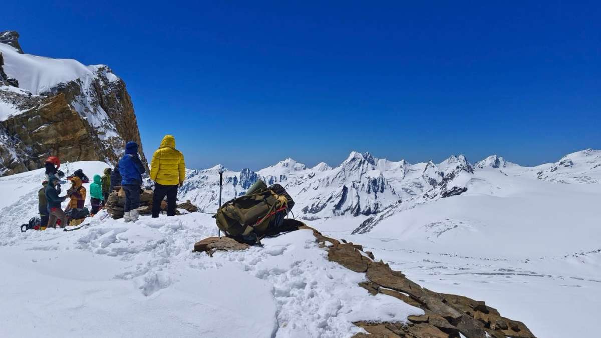
6. Kalindi Khal
Kalindi Khal ranks among the toughest high-altitude passes in Uttarakhand. It stands at around 5,950 meters.
This route connects Gangotri and Badrinath across glaciers. Mountaineers consider it a serious expedition, not a regular trek. It requires technical skills, glacier travel experience, and professional support.
Because of altitude and crevasse risk, only experienced climbers attempt it. However, its geographical importance stands clear. It links two major pilgrimage centers through a high glacial corridor.
 kalindikhal Trek
7. Audens Col
Auden Col stands at around 5,490 meters. It connects the Rudugaira Valley near Gangotri with the Bhilangana Valley.
The Auden Col Trek ranks among the toughest expeditions in Uttarakhand. It involves glacier crossings, rope work, crevasse navigation, and steep snow slopes. Mountaineers require crampons, harnesses, and ice axes.
The trek usually begins from Gangotri and passes through high-altitude terrain inside the protected forest zone. Teams cross the Rudugaira Glacier before reaching the col. After the crossing, they descend toward the Khatling Glacier region.
Weather conditions change rapidly here. Snowstorms and freezing winds are common even during summer months. Only experienced trekkers with previous 5,000-meter exposure should attempt this expedition.
 Auden Col Pass
Why Mountain Passes in Uttarakhand Matter
These passes are not just trekking points. They serve multiple roles:
Strategic corridors along international borders
Ancient trade routes connecting India and Tibet
Pilgrimage pathways for sacred journeys
Adventure destinations for trekkers and mountaineers
Government agencies like the Indo-Tibetan Border Police and the Indian Army maintain infrastructure in several high-altitude sectors. Their presence reflects the strategic value of these routes.
Climate and Best Time to Visit
Most high-altitude passes in Uttarakhand remain snowbound from late autumn to early spring.
For trekking passes like Kuari Pass:
Best time: May to June and September to November
Winter treks: Possible with proper gear
For technical passes like Kalindi Khal:
Short climbing windows during stable summer weather
Weather in the Himalayas changes quickly. Even in summer, snowfall can occur above 4,000 meters. Trekkers must monitor forecasts from reliable sources like the India Meteorological Department.
Safety and Regulations
Before planning any high-altitude journey, consider these points:
Obtain required permits for border regions
Acclimatize properly above 3,000 meters
Travel with certified guides for technical routes
Carry altitude medication only after consulting a doctor
Inform local authorities or forest departments
Acute Mountain Sickness can affect anyone. Proper ascent planning reduces risk significantly.
Environmental Responsibility
The Himalayan ecosystem remains fragile. Increased tourism puts pressure on waste management and alpine vegetation.
Follow these principles:
Carry back all non-biodegradable waste
Avoid single-use plastic
Respect local customs and villages
Do not disturb wildlife
Responsible trekking protects both nature and future travel opportunities.
Final Thoughts
Mountain passes in Uttarakhand tell stories of trade caravans, pilgrims, explorers, soldiers, and modern trekkers. Some passes remain guarded and restricted. Others welcome adventure lovers with open ridgelines and panoramic views.
Each pass carries a distinct character. Mana and Niti highlight strategic history. Lipu Lekh connects spirituality and geopolitics. Kuari offers accessible Himalayan beauty. Kalindi Khal and Audens Col challenge serious mountaineers.
If you plan to explore them, prepare seriously. Train your body. Respect altitude. Follow rules. The Himalayas reward preparation and punish carelessness.
And one more honest truth: mountains do not care about Instagram. They care about weather, physics, and your stamina.
Travel wisely. Explore responsibly. Let these high routes inspire you, not exhaust you.